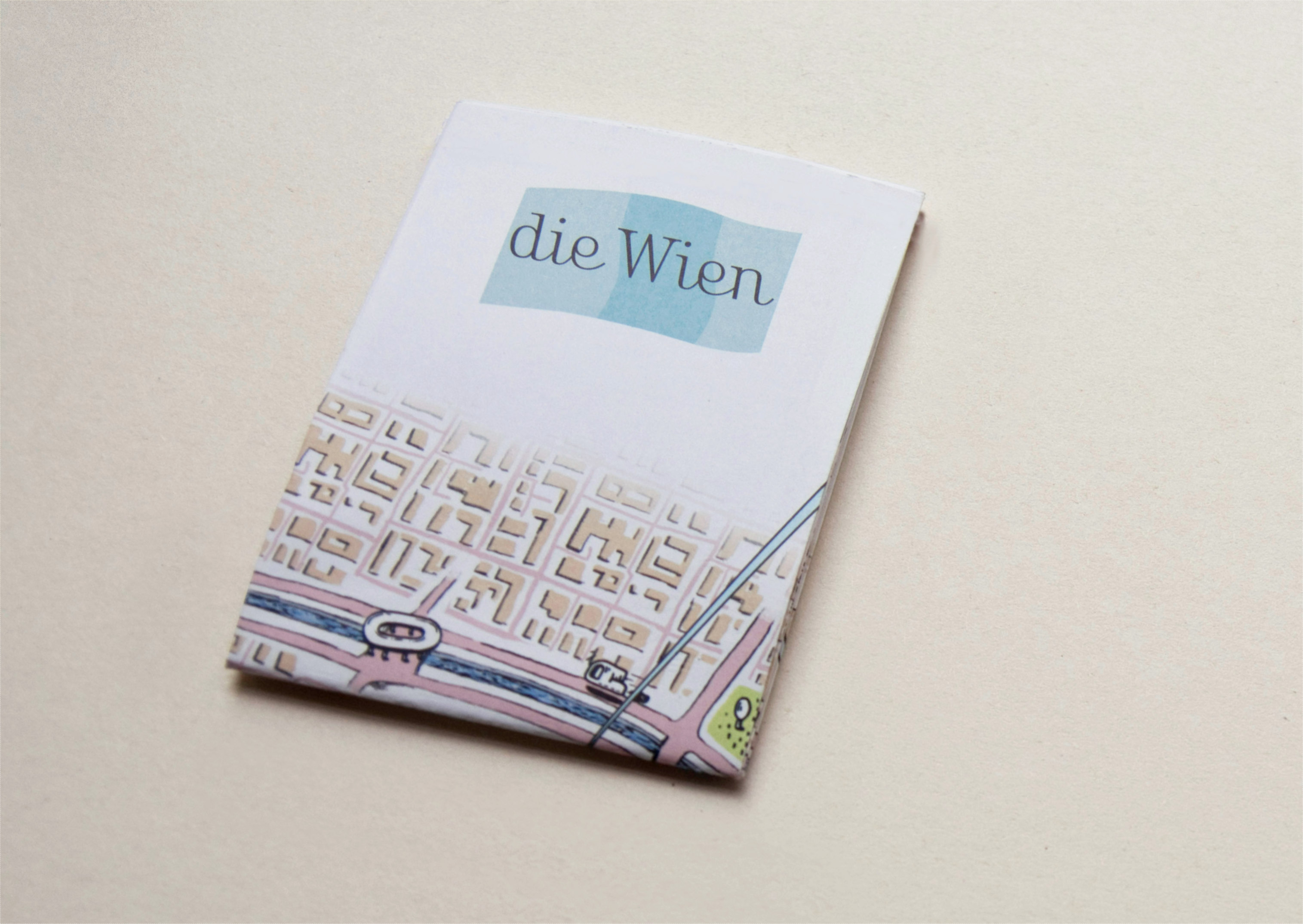
die Wien
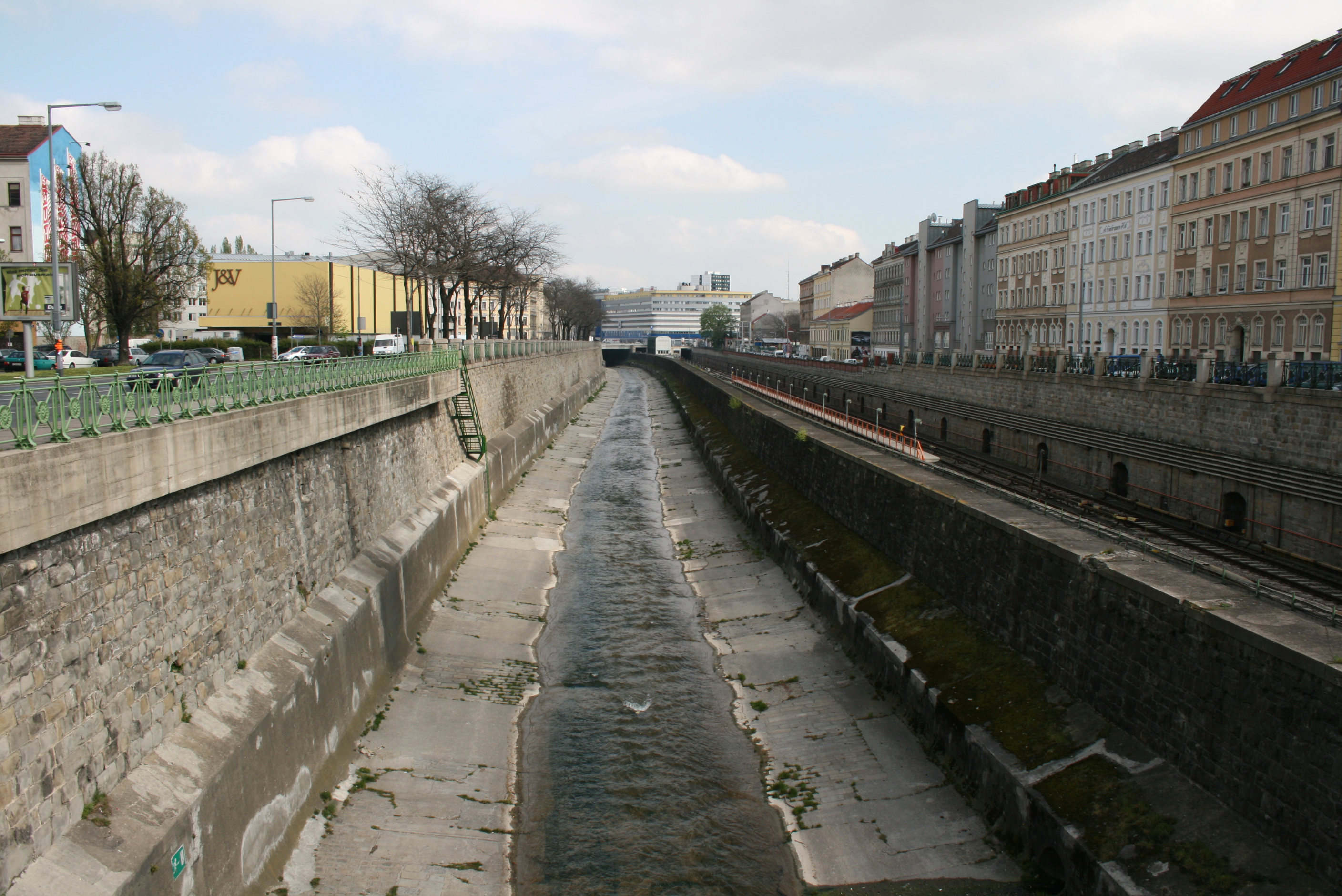
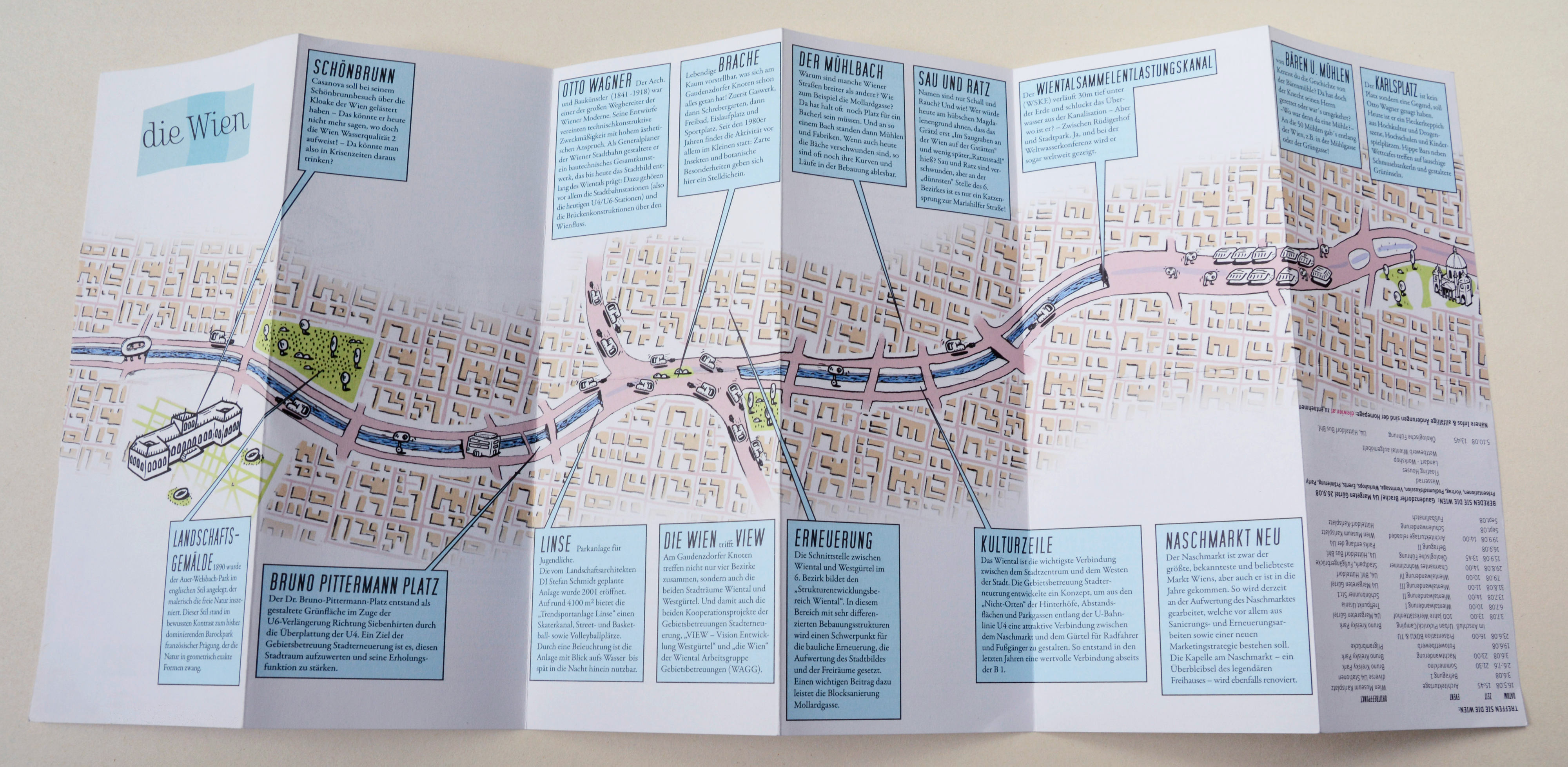
To visualize the river “die Wien” and its canal, the “Wiental”, we had to develop a new abstract and extreme distorted map. The cartographically correct folder would be three times larger and in fact total unhandy. Abstraction shows through dissimilar similarity more obvious that it's a sign and not the reality.
Um den Fluss die Wien und das Wiental darzustellen, mussten wir einen neuen abstrahierten und völlig verzerrten Plan entwickeln. Kartografisch korrekt wäre der Folder dreimal so lang und dadurch völlig unhandlich. Abstraktion zeigt durch unähnliche Ähnlichkeit viel deutlicher, dass es ein Zeichen ist und nicht die Wirklichkeit.

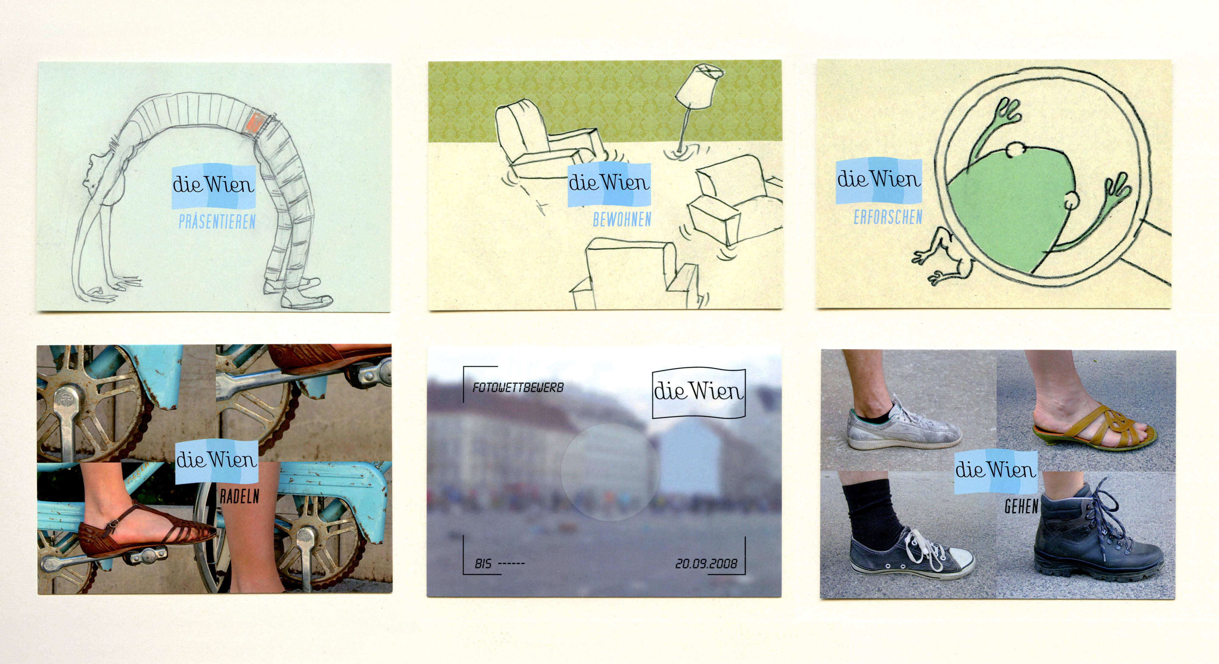
identity design, photos: Manfred Veigl
illustrations: Gerald Baumgartner, Manfred Veigl